The water an Aqualane Shores boat crosses on its way south splits into two stretches this winter. Gordon Pass and the beaches of Keewaydin Island are as settled as they get, because the pass was maintained in 2025. Below Gordon Pass, the back-bay channel to Isles of Capri and Marco Island has had a busy fall. The U.S. Coast Guard has proposed new channel markers that can move as the sand moves, and the U.S. Army Corps of Engineers has a draft plan for the first maintenance dredging Big Marco Pass has had since it was built. Both proposals would let the channel's marks and depths keep pace with the deep water as it shifts.
Gordon Pass, freshly maintained
Every trip south from the Aqualane Shores canals starts at the same gate. In September 2025, the Army Corps' Jacksonville District reported that it had awarded Southwind Construction a $3,045,784.37 contract to dredge cuts 1 through 7 of Gordon Pass and its settling basin. The plan sent about 65,000 cubic yards of compatible sand to the beach on Keewaydin. In its October 2026 environmental assessment for the channels farther south, the Corps lists 2025 as the most recent maintenance of Gordon Pass. The pass has been maintained since it was first built in 1960.
So the first few minutes of any run this season cross water that was recently worked on, and some of that sand now sits on the island where many trips end.
Keewaydin, just across the pass
The Rookery Bay National Estuarine Research Reserve describes Keewaydin, which locals also call Key Island, as an eight-mile barrier island with no bridge that thousands of boaters visit. The reserve says the state Department of Environmental Protection bought 85 percent of the island's 1,300 acres. Rookery Bay has worked with local partners since 1980 to manage those state lands for habitat and for recreation that fits alongside it.
The Corps' assessment puts Keewaydin's northern tip at the entrance to Gordon Pass. That makes it the shortest Gulf-beach day an Aqualane Shores boat can take, and some of the sand from the 2025 Gordon Pass dredge was planned for its beach.
Keewaydin has hosted gatherings by boat for a long time. In June 2025, the Naples Daily News described the annual canoe-race finale and its island party, reachable only by boat, as a Southwest Florida tradition going back to the 1970s.
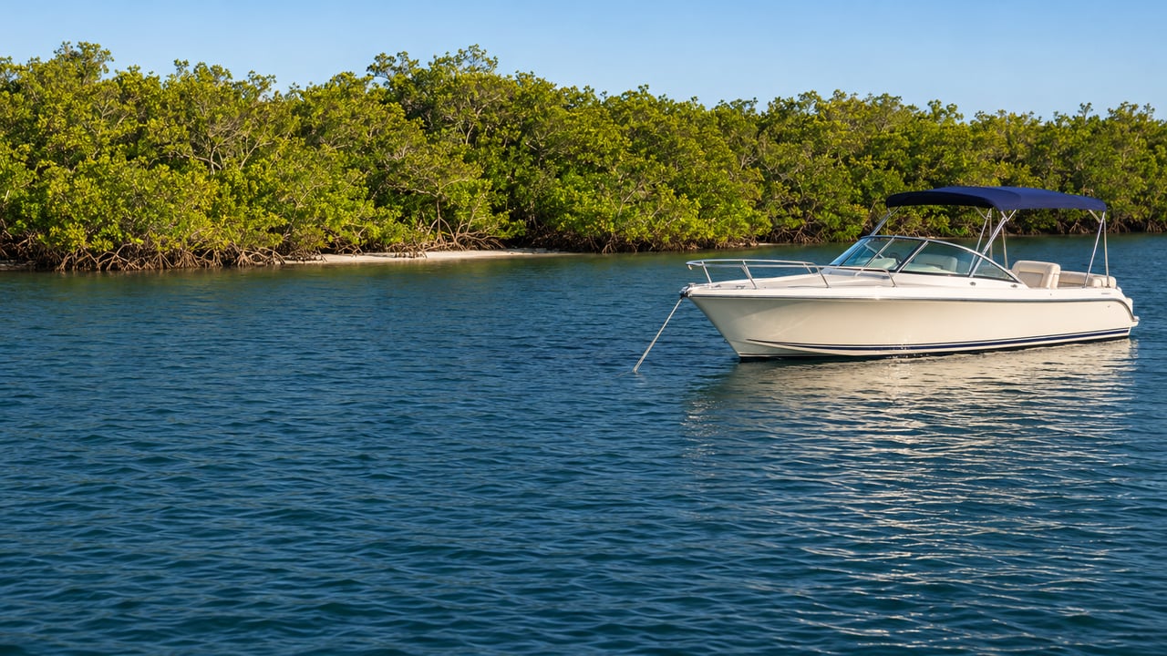
The inside channel follows the best water
South of the pass, the route behind Keewaydin is part of the Naples to Big Marco Pass federal project. It runs from Gordon Pass, past Key Island and the Rookery Bay waters, to Big Marco Pass about nine miles south. According to the Corps, local interests first built the channel in the early 1930s, and Congress authorized it for federal participation in 1938.
The Corps describes long stretches of this channel as following "best water," the naturally deep areas, rather than an exact fixed alignment. When the sand shifts, the best water moves with it, and fixed markers driven into the bottom fall behind.
That explains the Coast Guard's Local Notice to Mariners dated September 30, 2026. It lists 21 federal daybeacons on the Big Marco Pass–Gordon Pass channel as destroyed or missing, and it flags Daybeacon 27A as a hazard to navigation. The same notice lists four Big Marco Pass obstruction aids as destroyed and Isles of Capri Daybeacon 6 as missing. The notice also includes the Coast Guard's proposed fix. Thirteen of the fixed daybeacons would become unlighted floating aids, because "Coast Guard assets are unable to access the fixed structures due to shallow water depths." The Coast Guard writes that floating aids can be moved sooner "when shoaling evolves." Comments on that proposal were due November 2, 2026.
For an Aqualane Shores captain heading to Capri or Marco this winter, the practical step is to check the most recent Coast Guard Local Notice to Mariners for this district before the trip. Some marks on a familiar route may be missing, and some may soon float.
The Corps' plan for the first Big Marco Pass dredge
The second change comes from the Army Corps. On October 13, 2026, the Jacksonville District posted a draft environmental assessment and proposed Finding of No Significant Impact for maintenance dredging of the Naples to Big Marco Pass channel. Public comments closed November 12, 2026. The City of Naples is the project's non-federal sponsor.
The assessment says Big Marco Pass has not been maintained since it was first built, partly because there were few places to put the sand and partly because it shoaled slowly. In 2024 the Coast Guard identified the need to dredge Cuts J through O near Big Marco Pass and uncontrolled Cuts 1 through 3 near Gordon Pass. The Corps calls Big Marco Pass a shallow-draft inlet less than 14 feet deep, prone to shifting shoals that create "severe and unpredictable navigational hazards," and it notes that the Coast Guard raised safety concerns about the shoaling directly with the Corps.
Under the proposal, both sets of cuts would be dredged to 6 feet at mean lower low water, with 1 more foot of allowable overdepth. The sand would go back into the same system: Tigertail Beach on Sand Dollar Island, the sandbar between Umbrella Island and its neighbor in the Rookery Islands, the western side of Key Island, and the nearshore of Keewaydin between state monuments R-90 and R-94. The Corps' next step is to decide whether to sign the finding and move ahead with its preferred alternative.
The water is heavily used. The assessment cites a 2013 study in which trips through Capri and Big Marco Passes made up 19 percent of all recreational boating in Collier County. It also places the 456-acre Big Marco Pass Critical Wildlife Area, a nesting and wintering ground for seabirds and shorebirds, at the south end of the route.
Lunch at either end of the run
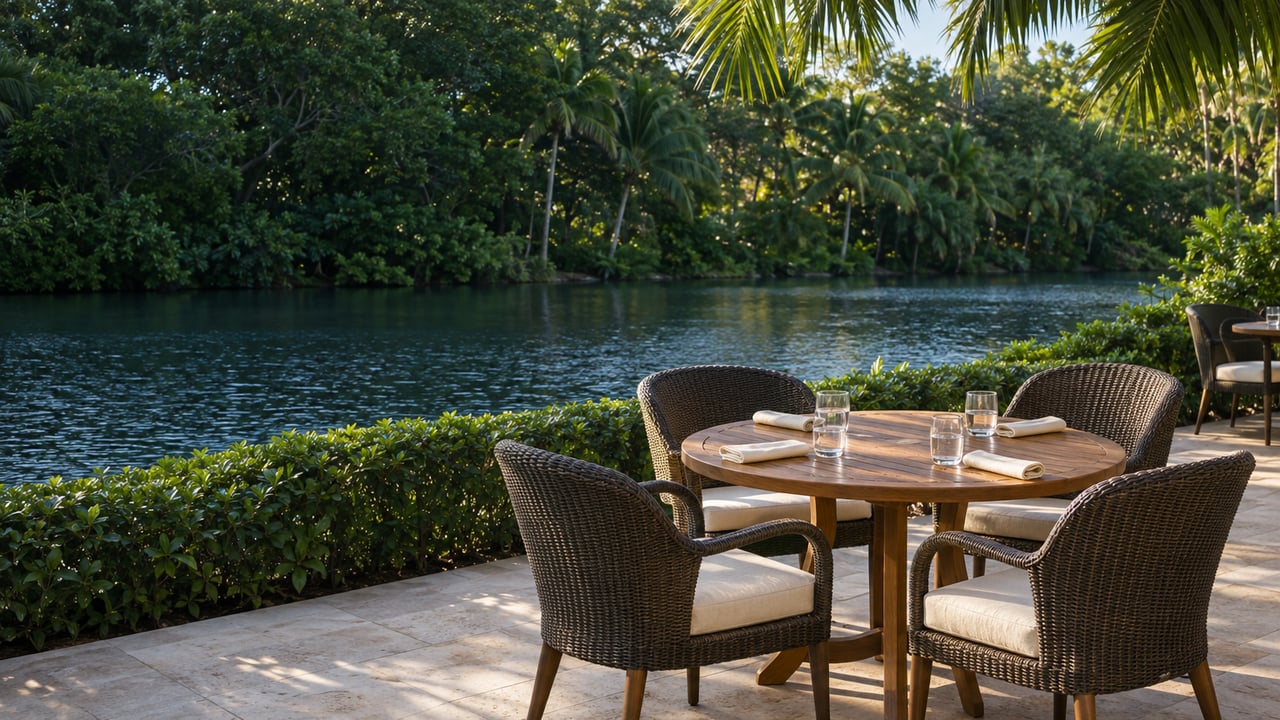
The shortest dock-and-dine trips stay in Naples Bay. The Boathouse on Naples Bay tells boaters to look for Channel Marker 4, has a 100-foot dock right outside the restaurant, and advertises free boat dockage. Pinchers at Tin City lists boat access through the Tin City marina, takes no reservations, and has a call-ahead list up to 30 minutes out. Its posted hours are 11 a.m. to 10 p.m. Sunday through Thursday and until 11 p.m. on Friday and Saturday. For an overnight in town, Naples City Dock sells Rec 90 gasoline and diesel and has 400 feet of transient frontage at $3.25 per foot per night, with reservations taken up to three months ahead.
At the far end of the inside run, Snook Inn on Marco Island invites guests to arrive by boat, and its site lists hours from 11 a.m. to midnight. Isles of Capri, just north of the passes, has waterfront restaurants of its own, including Capri Fish House and Island Gypsy Cafe & Marina Bar. Call ahead about dockage at either one before planning a lunch around it.
The season's dates on the water
Two dates are worth adding to the calendar now. The Naples Bay Christmas Boat Parade runs Saturday, December 19, 2026, from 6:15 to 8:30 p.m. The organizer lists City Dock, Pinchers Tin City, Riverwalk, Naples Landing, Kelly's Fish House, The Boathouse and Bayview Park as viewing spots. Our earlier post covers how the parade route reaches Port Royal's coves and how to enter your own boat. The Naples Boat Show lists January 21 through 24, 2027, with boats on land at Sugden Regional Park and in the water at Naples City Dock.
Planning a season of trips starts at your own seawall. Our earlier piece on where an Aqualane Shores flood policy stops at the dock covers that part of the waterfront.
At J2 Luxury Group, we spend a lot of time on the same water as our Aqualane Shores clients, from the canal mouths to the passes south of town. If you're thinking about how a home's dock, canal and route to the Gulf fit the way you use the water, schedule a private consultation and we'll go through it with you.